Friday 5th November 1819

Novb 5th 1819
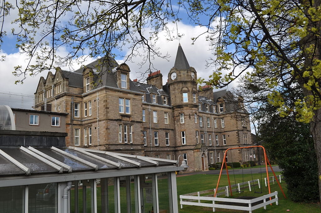
Gunnersbury
OBSERVATIONS & COMMENTS:
Lucy’s feelings on returning home
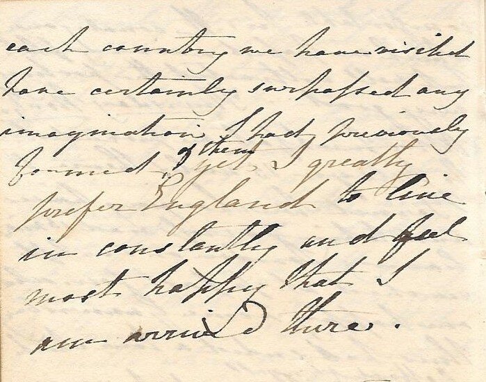
thus had ended a tour which has afforded to us all the greatest source of amusement pleasure and instruction we have travelled 3280 miles occupying the space of five months, and although the respective beauties of each country we have visited have certainly surpassed any imagination I had previously formed of them yet I greatly prefer England to live in constantly and feel most happy that I am arrived there.
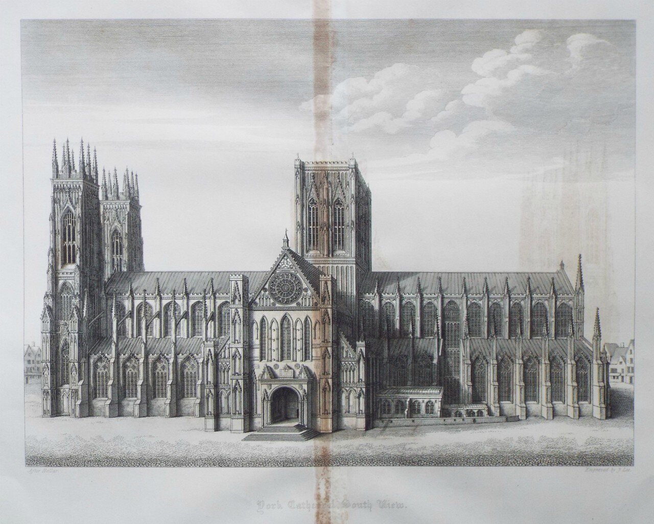
The purpose of the Tour
amusement pleasure and instruction: Lucy’s father, Alexander, held the firm belief that his children should be given the very best experiences to equip them for their future, and we know that in 1820-2 he sent his eldest son, Alex, on an unusually comprehensive European tour for that purpose. The 1819 family tour broadened Lucy’s experiences beyond the fabulously wealthy but limited Ealing Society in which she grew up. The tour gave her the very best of introductions to aristocracy and persons of wealth, broadening her network of influential people and honing her social skills for the future, but she was also brought into contact with a great range of people from all walks of life, albeit from a suitably protected distance.
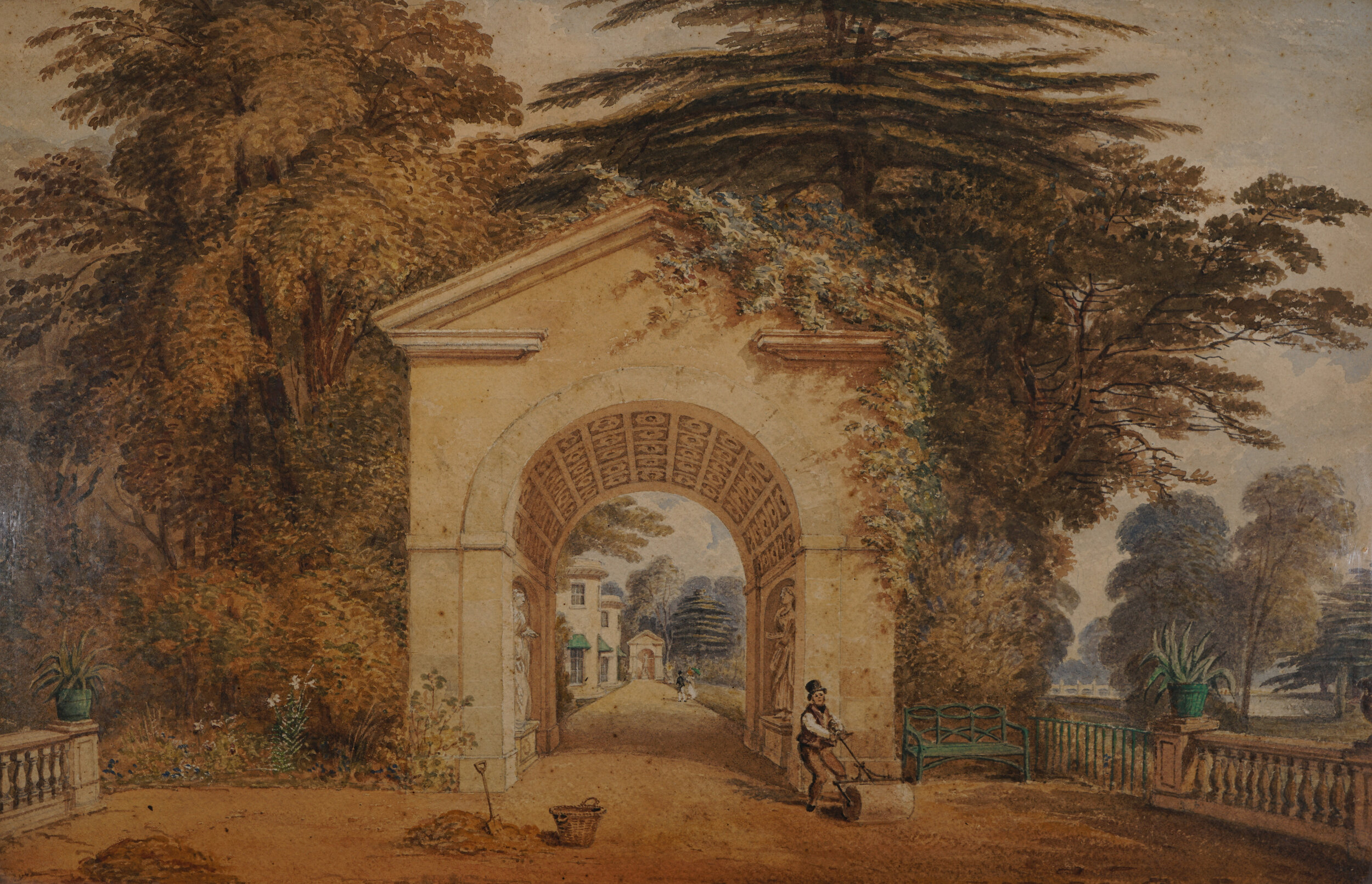
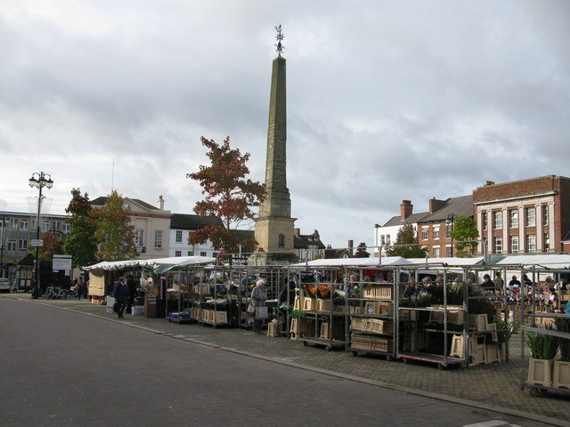
This was a time when the wealthier classes would go on “Grand Tours” in search of the “picturesque” and “romantic”. Guide books had been readily available since the first of a series written by Rev William Gilpin Observations on the River Wye, and Several Parts of South Wales, &c, Relative Chiefly to Picturesque Beauty that was published in 1783. The family would strike up friendships on the way, such as during their Welsh tour when the ubiquitous Mr Grimes would appear from time to time to advise them from his experience on the best places to visit.
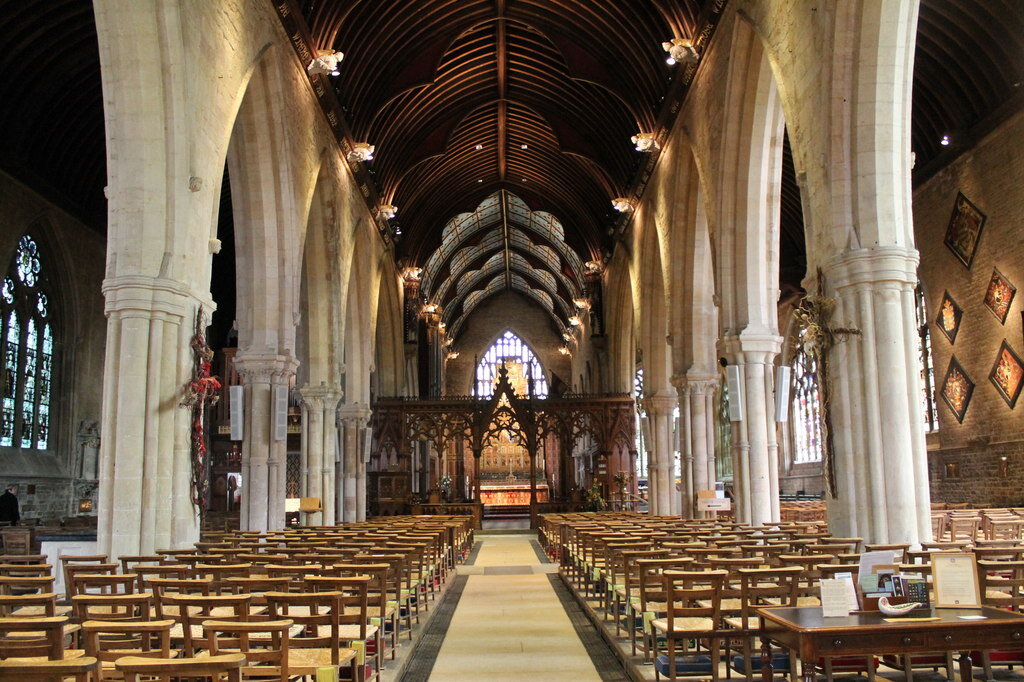
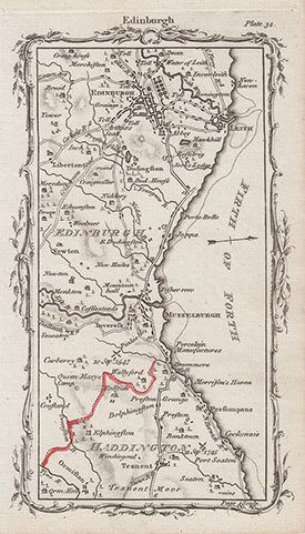
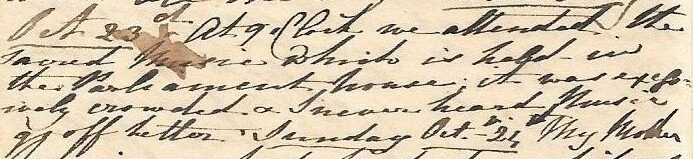
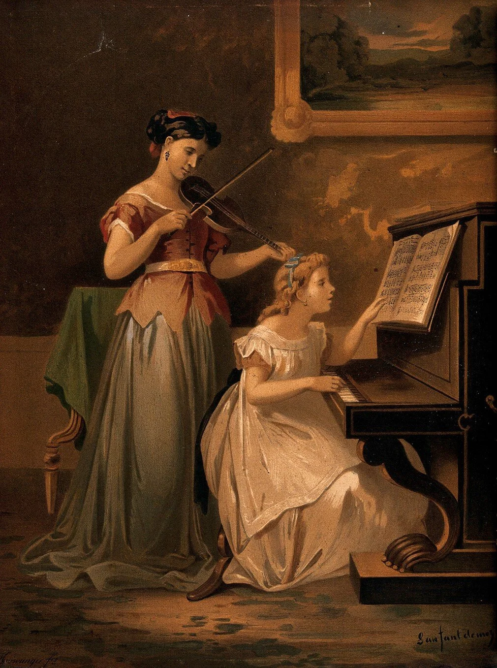
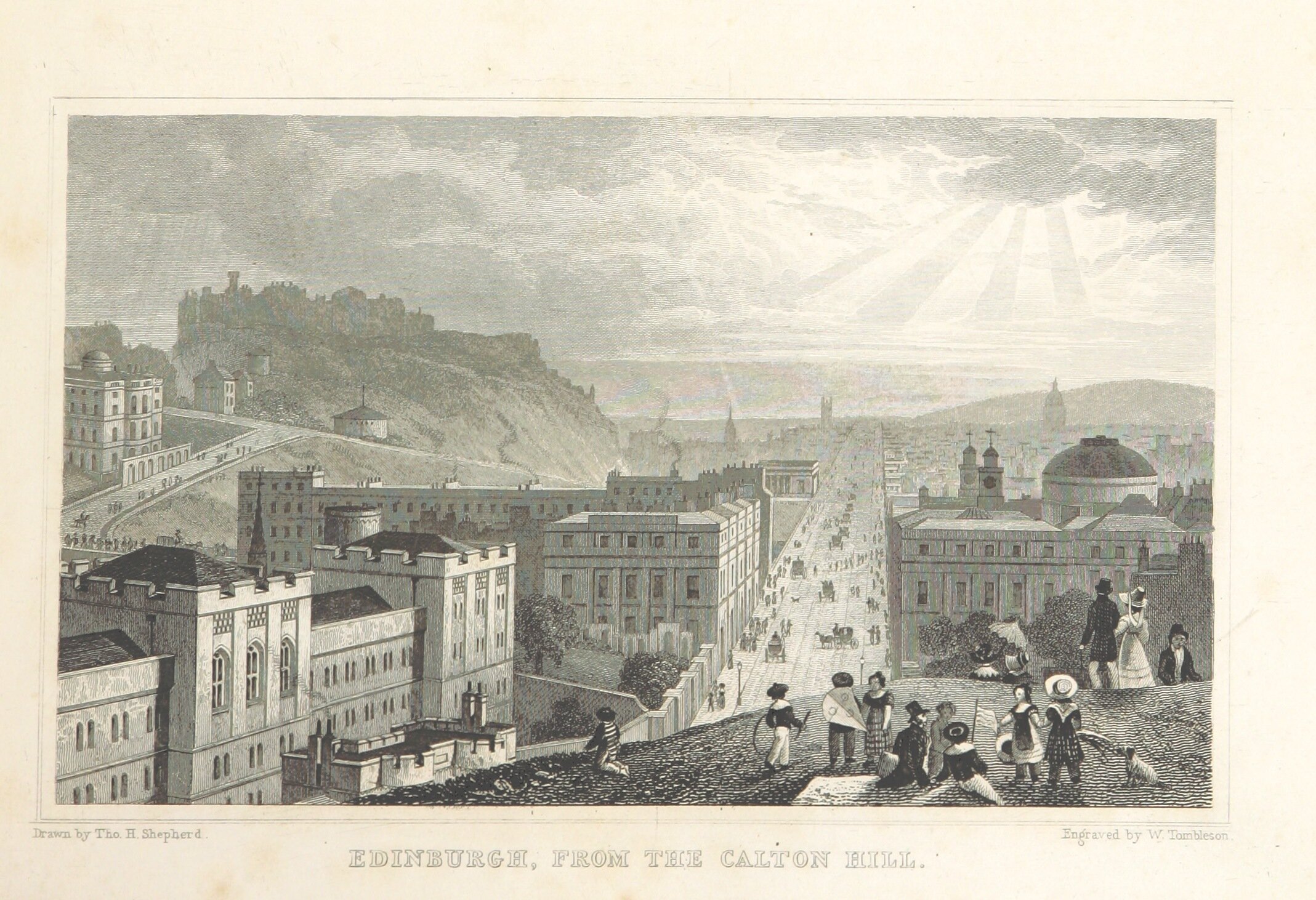
Having been brought up in a fashionable society where the mistress of the house might well be an accomplished musician, like her own mother, Lucy was introduced to the Welsh harp, Scottish music and dancing and in Edinburgh to concerts during the city’s second ever musical Festival. I never heard music go off better was her comment on music she heard at the city’s Parliament House.
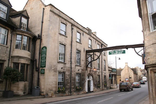
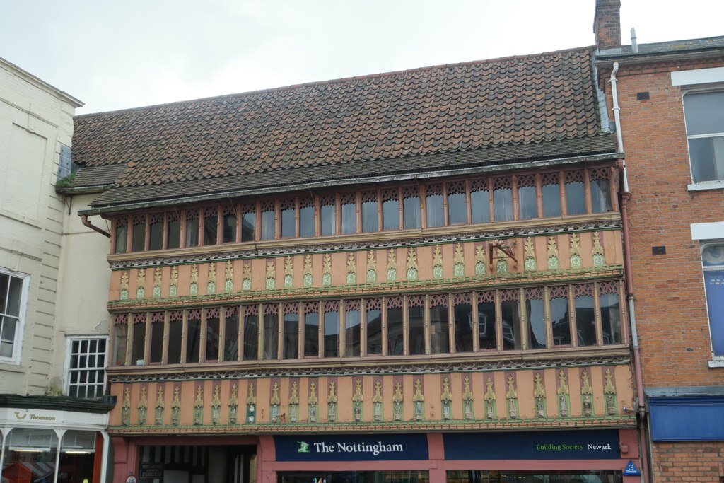
She was able to witness the dirt and labours of the Welsh iron works yet was given the opportunity to visit “Mr Owen’s manufactory” at Lanark where the social experiment that led to the formation of the British Co-operative movement was being developed. She experienced the filth of industrial towns, and comments on these when encountered, as well as on a wide variety of coaching inns where horses were changed every 10 miles or so and where they would stop for breakfast or refreshment before advancing to dinner and a place to sleep. These she might rate as “Good”, “Bad”, “Excellent”, “Comfortable” or, the more damning “Tolerable” and I suspect that the nature of the society that frequented these establishments might have influenced her opinion.
Lucy treasured her experience. She writes the respective beauties of each country we have visited have certainly surpassed any imagination I had previously formed of them. Her scrap books are filled with mementos of her journey in the form of small scenic prints from many of the historic or picturesque places they visited, roughly trimmed and pasted, sometimes haphazardly, within their pages.
Endurance, monotony and exhaustion
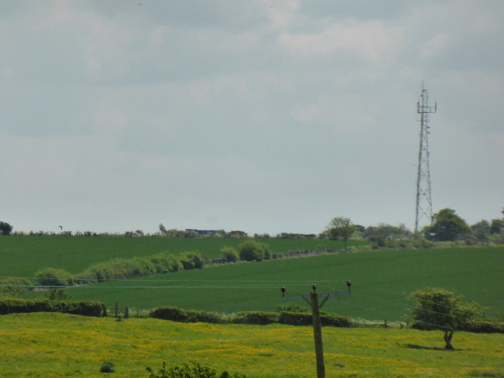
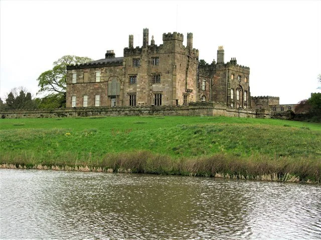
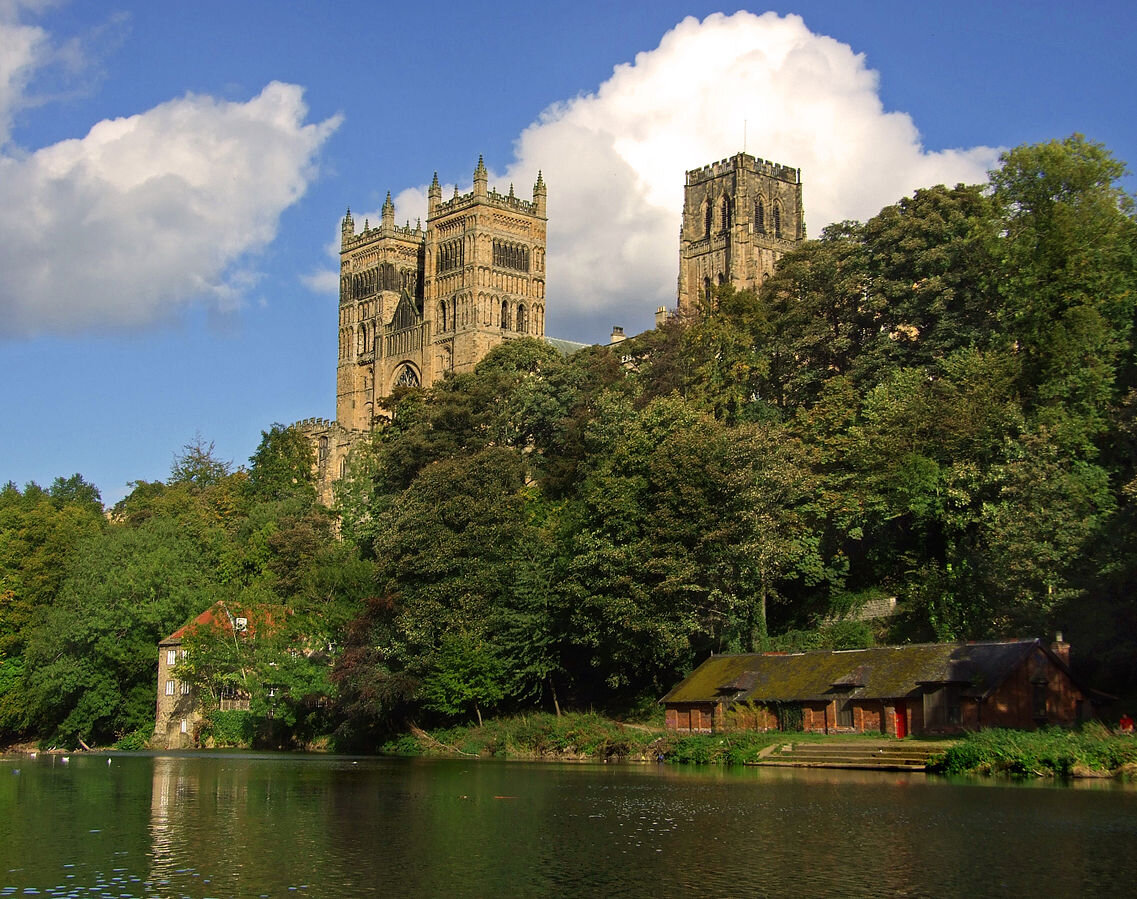
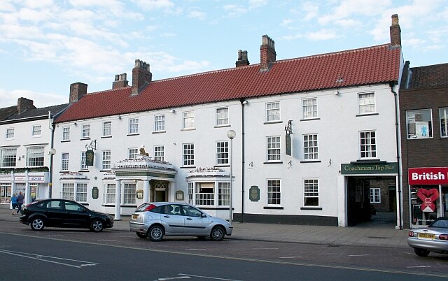
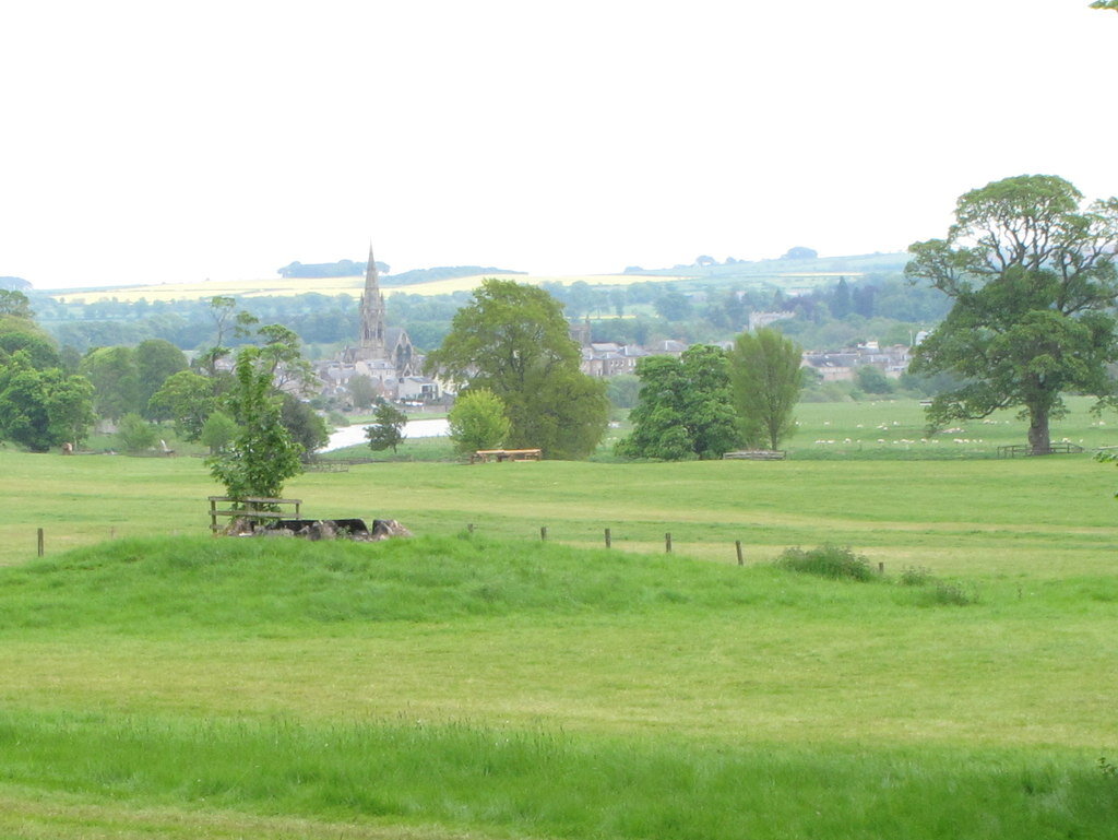
We have travelled 3280 miles writes Lucy in her final entry. This was quite some feat and the carriage would have been maintained to the highest standards, perhaps on a daily basis. They did experience the need for repairs, which held them back in Newcastle, but this was the only occasion during their long journey that took them over a number of very poor roads. Lucy often comments on the surrounding scenery, as on the journey back home with the country over which we passed was very flat, but she revels in recording the dramatic scenery of mountains, valleys and lakes.
I get the feeling that she experiences a sense of monotony when travelling along the less picturesque landscapes. Maybe this is because, rightly or wrongly, I have put myself in her position - one of being inundated with new, dramatic views on an almost daily basis. Trapped within a virtual journey of daily researching and learning about the places she visits I experienced a sense of withdrawal when faced with more mundane days, and a feeling of being denied a new fix after such a long, indulgent surfeit of experience occupying the space of five months.
However, at the opposite end of the scale, there was a sense of relief at the end of it all. When she writes I ….. feel most happy that I am arrived there I believe she is not just expressing her love of England over Wales and Scotland but deep down she is really expressing her relief at being home at last after a sometimes relentless and gruelling five months. She can return to a more leisurely, easy life filled with memories that not many of her contemporaries would have experienced as she embarks on a return to society, no longer as a teenage girl, but as a young woman bearing the confidence born of her travels.
There were times when I feel the family needed to stop and recharge. The Lake District, though filled with wonderful scenery which they visited on a daily basis, allowed them to return to the same Keswick hotel at the end of each day for a longer sleep, without the pressure of having to set out early in the morning for breakfast at the next posting house. Days spent in Edinburgh provided that same opportunity. Sometimes Lucy and her mother would just stay at the inn and take things easy. On one occasion they did little when Lucy’s mother had a bad headache and they took time out when brother Frank was unwell. When travelling their clothes would often have been wet or damp for hours on end. There was surprisingly little sickness in these five months, considering the extremes of wind, rain and storm that they often faced and the plates of food eaten at the posting inns at which they stopped in an age when the principles of safe food preparation that we take for granted were unknown. The germ theory of disease did not appear until the latter half of Lucy’s century with Louis Pasteur. Even Lucy’s father, whose personal notes record frequent scourges of the Gout, was only afflicted on one occasion. They were an incredibly healthy family during this time of their lives, even though Lucy’s three brothers and her father were later to die at ages we might now consider to be quite young.
And Lucy’s attitude towards others?
I sometime wonder why there was only one mention of her family’s companions on the journey. In the second sentence of her first entry she tells us Our party consisted of my Father and mother my three brothers myself and a man and maid. The man and maid are mentioned no more. What did they do? If they travelled with the six family members inside the family coach, sometimes through the vilest of weathers, would not the carriage have been somewhat crowded - or did they sit on the top in the open air, as did two of Lucy’s brothers on day one? Perhaps they did stay inside in the worst of weathers, as on the laboriously slow and treacherous road to Devils Bridge, whilst my brothers who rode on before us on horseback very cleverly ordered four horses to our relief. Possibly for simple journeys they could have been sent on in advance on public transport, a Stagecoach, but this would not have worked in the more remote areas where inns could be full and they would have to travel on to one, two or more stages until finally they found accommodation - on one occasion at 3 o’clock in the morning securing beds in a private home. Was the 16 year old Lucy insensitive to the family servants or am I applying modern day morality to the social behaviour of her age? To gain greater enlightenment I do need to locate and study the diaries kept by other members of the family on this epic journey that will probably have passed through her brother Alex and down the family line.
MY OWN JOURNEY AS A RESEARCHER
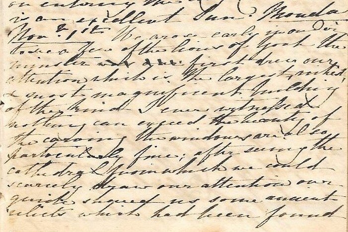
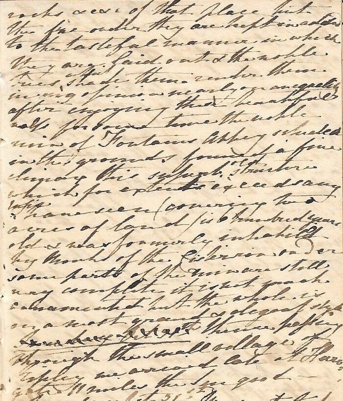
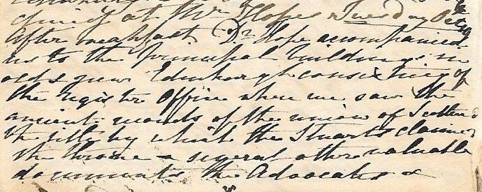
I set out to recreate a virtual journey following Lucy's diary two hundred years to the day and to write up and publish my discoveries without fail on that day. My first challenge was one of transcription. What started as clearly written lettering, well-spaced over several pages at the outset of her diary, soon became more of a challenge as Lucy found she was running out of space in this one tiny book. She began progressively to cramp and contract her writing as the weeks passed by. The spills, scratches and blobs accompanying a Regency pen, fresh from an inkwell, would often appear on the page. Omissions in a sentence would be squeezed between already narrowing lines in a way that she might have been able to read but which have challenged an inexperienced document reader like her great-great grandson. Place names were particularly difficult and would often elude me until, poring over an ancient coaching map, I might recognise the name of a long-gone posting inn that no longer finds a place in a modern map. Sometimes I was helped by the distances she recorded between each stop and, after plotting her route, would find a lone listed building revealing within its citation its past life as a coaching inn. Nevertheless within several weeks I became accustomed to her hand and it all began to fall into place. With a little bit of guesswork at times through applying context, I feel I have transcribed her writing fairly accurately.
Never having operated a website before I took advice from a friend, Steve Adams, who advised me that Squarespace was one of the easiest and most versatile template websites to work from. My first attempt started on a trial basis four weeks before Lucy set out on 21st June. I messed up template after template, giving up time and time again in exasperation until, in a desperate “Do or Die”, I found and stuck with the present site three days before setting out. There are many things I could have done better in retrospect but, determined to record Lucy's diary on a day to day basis and resolving not to miss even one day, I launched my somewhat rickety machine on the evening of 21 June 2019, exactly 200 years after great-great grandmother Lucy set pen to paper in her little diary. Mistakes were made in naming tags and headings, in one instance leaving the template title as “New Page” which I am still too fearful to change in case I lose the lot. Nevertheless this machine, my far from perfect website, has served its purpose and I have arrived at the 5th of November with every day faithfully recorded and researched.
It is more than 55 years since I gained a distinction in my History A-level but since then, although retaining a passion for history, I have not subjected myself to the rigours of historic research. Perhaps my four years of full-time study from the ages of 26 to 30 in a new career as a chiropractor forced me to question and research my new profession. Those 42 years that followed in practice have been accompanied by the need to research, question and review the challenges presented by patients who do not fit into the normal diagnostic mould. I do hope that my approach has been a professional one although, I am ashamed to admit, there may be times when pressed by the scourge of fleeting time, night leading into early morning, I may have skipped or missed important facts or nuances to get the diary published before the onset of dawn and my setting off to work for a busy day of patients.
When I set out on 21st of June 2019 all I had to go on was Google. Suffering a mistrust of Wikipedia I would often gain information from other sources, some of which, by lacking citations, may well have been less reliable. Wikipedia does indeed attempt to review and moderate its sources. Sadly checking sources has often been denied me by the ever-fast passage of time and much of what I have copied and pasted has been done by accepting what appeared on the screen at face value. This is not good research.
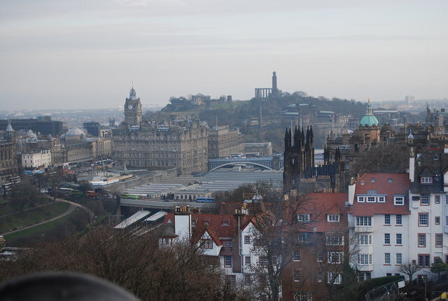
As I launched into this journey I did so without knowing where I could find contemporaneous prints and drawings that might illustrate the life and places Lucy visited through her own young eyes. Within a few days my brother-in-law Stephen Lang referred me to a site that sold old prints and engravings from Georgian, Regency and Victorian eras. Anxious not to infringe copyright I started out in fear and trepidation but soon learned that the age of these old gems often put them into the public domain. Finding more up to date photographs of the places Lucy visited proved more challenging at the beginning. At first I relied on images from Wikipedia and learned from there about the various stages of copyright and attribution. On a few occasions I have appropriated pictures from websites owned by inns and hotels in the hope that they will not begrudge me their pictures in return for quoting the source and perhaps, on the odd instance, gaining new business for them. It was all too late in the day when I discovered the treasure trove of Geograph. It had been there right from the outset, hidden in almost all of Wikipedia's images. If only I had explored and discovered this wonderful resource at the outset of my journey instead of finding it when I was well on the road south towards Edinburgh! From that time on my entries have been populated by more and more Geograph pictures, although the downside has been ever more late nights and early mornings, searching for better and better - and ever more appropriate - photographs, in some instances uncovering inns and taverns that had not appeared in earlier web searches.
These 4½ months, from 21st June to 5th November, have been challenging not only for me but, more seriously, for my family. My poor wife Larysa feels that I have deserted her and care more for Lucy than I do for her. My 8 and 12-year-old children have had help with homework neglected and they have been met by a half-hearted, sometimes grudging, response when their father was called to break away and take them to weekend cricket and football matches, tennis, gymnastic or swimming events and children's parties. Their patience and tolerance has been remarkable and I feel truly blessed for having gained their acceptance of what has become my self-indulgent and selfish passion for Lucy and her times.
AND NOW WHAT?
Most of what I have done over the last four to five months has been done for friends and family. However I do passionately believe that there is a potential for a wider appeal. A lot has happened over the last two centuries, much of it good, but some of it catastrophically bad. The Industrial Revolution that began in the Georgian era, and accelerated on at full pelt during Lucy's lifetime, has brought changes to the environment that now seriously challenge our future as human beings. Lucy's diary gives us a 200 year window which, by comparing her times with ours, enables us to witness and question those changes. I am often fascinated by Lucy's contemporaneous prints showing streams, trees, fields and animals encircling what we would now consider large villages but which, in modern times, are now towns and cities populated by tarmac and concrete. There has been a little redress as some of the more hideous examples of Regency industry, with horrendous pollution, grime and worker abuse, have been nicely preserved and manicured as museums of industrial history. Most of us have grown to expect and take for granted the benefits of dry clothing, insulated damp free homes, an amazing choice of foods from all over the world, gutters free of typhoid, a free health service and education for all, credit cards in our pocket and an almost too overwhelming choice of passive entertainment from television and other forms of media. Too few of us get to experience for ourselves the joys of travelling as a family, experiencing the highs and lows of living together over several months, as Lucy and her family would have done during what was, for Lucy and her brothers, the journey of a lifetime. We have also become dulled in a false sense of security to what will lie ahead if we fail as a civilization to learn from the lessons of the past.
Radio, Book or TV Documentary?
My virtual journey following in the footsteps of my great-great grandmother Lucy has provided a golden opportunity for a fascinating book and radio or TV documentary series. Much of the research work has already been done and invites the intervention of a documentary maker and investor to turn a Regency teenager's diary into a compelling radio or TV series that would reveal what we have lost during the last two centuries and contrast that with the ever accelerating path toward destruction that we are now locked into.
Homework
I am due to join Gunnersbury Museum on Sunday 21st June 2020 in a celebration of the Copland family’s contribution to the history of Gunnersbury Park on the anniversary date of their epic family journey. More must be done to learn about Lucy’s brothers who grew up in their father’s new mansion.
Ongoing Research
To keep the website alive and maintain it as a useful resource Lucy’s diary needs more work. It is necessary, especially in its early stages, to find contemporaneous Regency prints and modern Geograph images to compare then with now and to add these to each entry whenever they are uncovered. Local history societies and researchers will be invited to contribute more knowledge to the areas Lucy visited and perhaps to correct errors and omissions wherever they may be found. My goal is to continue to research and improve on the work that has been done to secure its ongoing relevance into the future but at a more measured, less frantic pace than that of the last five months.
Michael Copland-Griffiths


_-_north_west_view.JPG)
_(33459522640).jpg)
_p.087_-_St_George%27s_Church,_and_West_Side_of_Charlotte_Square,_Edinburgh_-_Thomas_Hosmer_Shepherd.jpg)
_p.128_-_The_Parliament_House,_Edinburgh_-_Thomas_Hosmer_Shepherd.jpg)
_p.111_-_Assembly_Rooms,_George_Street,_Edinburgh_-_Thomas_Hosmer_Shepherd.jpg)
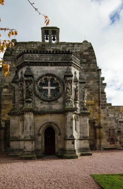
_p.176_-_Ruins_of_Roslyn_Castle,_near_Edinburgh_-_Thomas_Hosmer_Shepherd.jpg)
_p.111_-_The_Register_Office,_Princes_Street,_Edinburgh_-_Thomas_Hosmer_Shepherd.jpg)
_p.139_-_Heriot%27s_Hospital,_from_the_Castle_hill,_Edinburgh_-_Thomas_Hosmer_Shepherd.jpg)
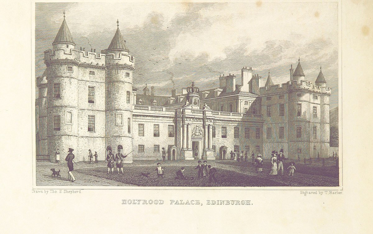
_p.106_-_Holyrood_Palace,_Edinburgh_-_Thomas_Hosmer_Shepherd.jpg)
.jpg)
.jpg)
.jpg)
_p.087_-_St_George%27s_Chapel,_York_Place,_Edinburgh_-_Thomas_Hosmer_Shepherd.jpg)
_p.055_-_Edinburgh,_from_the_Calton_Hill_-_Thomas_Hosmer_Shepherd.jpg)
_p.081_-_North_Bridge,_Calton_Hill,_etc,_from_the_Bank_of_Scotland_-_Thomas_Hosmer_Shepherd.jpg)
_p.119_-_Nelson%27s_Monument,_Calton_Hill_-_Thomas_Hosmer_Shepherd.jpg)